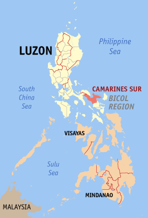
 Image via WikipediaPag-asa announces that typhoon "BEBENG" was estimated 70 km north of Daet Camarines Norte
Maximum sustained winds: 85 kph near the center up to 100 kph
Movement: North-west
Speed : 15 kph
Storm signal No. 2 : Isabela, Quirino, Aurora, Nueva Ecija, Northern Quezon, including Polilio Island, Nueva Vizcaya, and Camarines Norte
Storm Signal No. 1: Catanduanes, Albay, Burias island, Camarines Sur, Southern Quezon, Marinduque, Batangas, Laguna, cavite, Rizal, Bulacan, Bataaan, Pampanga, Tarlac, Zambales, Pangasinan, La Union, Benguet, Ifugao, Mt. Province, Ilococ Sur, Kalinga , Cagayan, and Metro Manila.

No comments:
Post a Comment